Troops continue search and epidemic prevention work in Ya'an quake-hit areas
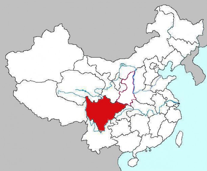
More than 200 killed, 11,000 injured and thousands of homes damaged in a strong 6,6 magnitude earthquake near Ya’an Sichuan province on April 20, 2013.
Troops of the Chengdu Military Area Command (MAC) of the Chinese People’s Liberation Army (PLA) continue the Search and Rescue work in Ya’an quake-hit areas.
The digital journal People’s Daily Online has dedicated an article to the three dimensional Search and Rescue work carried out by these troops.
Here you can read the entire article:
The disaster relief troop units under the Chengdy Military Area Command (MAC) of the Chinese People’s Liberation Army (PLA) continued their three dimensional Search and Rescue work on the morning of April 26, 2013.
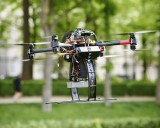
A total of 25 officers and men of the national earthquake disaster emergency recue team made up mainly by an engineer regiment under the PLA Beijing MAC, carrying the professional rescue equipment including unmanned detecting gyroplane, seismic ruins searching and rescuing robot as well as Search and Rescue dogs, continued to carry out the three dimensional Search and Rescue work in the form of man-machine cooperation on April 26.
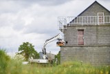
The national level earthquake rescue team of an engineer regiment under the PLAChengdu MAC was divided into three groups and went to the homes at villages to continually carry out the intensive search for the missing by use of the life-searching and rescuing equipment such as life detectors.
The Disease Control Center of the PLA Chengdu MAC dispatched the disinfection vehicles as well as professional personnel to carry out further disinfection work for epidemic prevention in key areas including schools and temporary settlements.
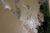
The meteorological support detachment precisely forecasted the weather changes in the severely hit areas by integrating with aerial remote-sensing mapping, providing the meteorological support for the prevention and elimination of the secondary disasters.
70 professionasl technical personnel and 19 vehicles of the Gold Force under the Chinese People’s Armed Police Force (APF) were divided into five geological disaster investigation groups to survey and assess the geological hazardous places, residential areas and temporary settlements together with civil experts, and carried out the examination and assessment on some geological disaster monitoring places through comparison with the aerial pictures, providing precise scientific data for the post-disaster reconstruction.
Source: http://english.peopledaily.com.cn/90786/8226515.html
- Login to post comments

